
Identify Watertown Neighbors by Parcel
The useful block question is narrow: which parcels meet the block, and which owner-of-record appears on each tax record? City and County systems can provide parcel position, situs, owner, and correspondence information, but none of those fields proves who is currently in a building. A dated block worksheet is more accurate than an undated neighbor list because it preserves the source, parcel ID, record date, and any uncertainty about jurisdiction.
| Block source | What it can show | Access route |
|---|---|---|
| County or City GIS | Parcel positions, street geometry, and geographic context | Official County Beacon or City GIS links |
| Parcel or tax record | Owner-of-record, situs, correspondence address, parcel ID, and value fields | City or County assessment channels |
| Deed or map | Parties to a conveyance and legal parcel relationships | County Clerk, Records Center, or SearchIQS |
| Historic directory | A past address-to-listing association | Flower Library and New York Heritage |
| Planning neighborhood | Official six-area planning context | Watertown Comprehensive Plan |
| Election record | Only data lawfully requested for an election purpose | County or State Board procedure |
A correspondence address can be outside Watertown, and a physical address names land rather than every person connected with it. Those distinctions keep the record result honest.
Use Watertown GIS for Block Context
Jefferson County deliberately separates spatial browsing from tabular parcel and tax work. Its Beacon Map Viewer is the geographic route, while the County links a separate Parcel Data & Tax Bill Look Up. Watertown also maintains a municipal GIS portal for city context. Start in the system that matches the address’s jurisdiction, then use the county map only as a map context for a city parcel.
The screenshot is from the County-linked map viewer. Its live controls could not be enumerated because the research session met an access challenge. Use the parcel-selection or identify controls available in the current viewer, rather than relying on assumed buffer, adjacency, or export functions. Transfer an identifier to the separate County Parcel Data & Tax Bill Look Up when its current screen is available.
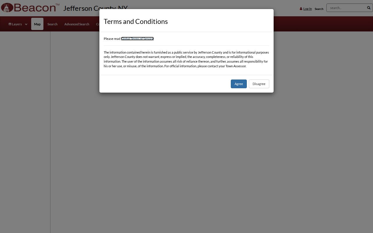
Map placement is the first part of a block inquiry. Each identified parcel still needs its own record retrieval before an owner-of-record can be noted.
Map a Watertown Neighbor Block
Move from one address outward in a short, documented process. The map establishes which lots are contiguous or occupy the same street segment. The parcel system and Clerk files then test the relationships one record at a time. This approach gives Watertown neighbors a property-based context without claiming that a map display lists a household.
- Locate the starting address in the City or County map route that matches its jurisdiction.
- Use the current viewer’s parcel-selection or identify controls to note the starting parcel and contiguous parcels. Record each parcel ID and situs.
- Retrieve each parcel separately in the appropriate City or County property route. Record the owner-of-record and label any mailing address as correspondence only.
- Use a legal description, deed reference, or map reference to test a boundary or ownership change through Jefferson County Clerk SearchIQS, the counter, or a mail search request.
- For past block history, convert pre-1908 numbers where needed and compare directories or newspaper material by individual address.
For a longer named-road chain, use the Watertown street directory method. Its parcel-by-parcel process is designed for the entire street rather than the immediate block.
Check Watertown Parcels One at a Time
City Assessment says every city parcel has public location, building-inventory, ownership, and sales-history records. The official roll sample distinguishes current owner name, owner mailing address, property location, tax-map parcel, values, exemption codes, property class, coordinates, and deed book/page. The County’s separate Beacon parcel and tax route serves its own material. Those different systems should never be silently merged into a single block result.
For a City search, Flower Memorial Library says the most successful terms are the exact owner surname or a bare street name without “Street.” A useful worksheet records parcel/situs, parcel ID, current owner-of-record, correspondence address, instrument reference, historic directory years checked, the pre- or post-1908 number, and the source URL or counter-request date. The worksheet records evidence rather than assumptions about Watertown neighbors.
Watertown Planning Neighborhood Context
The City’s Comprehensive Plan supplies six named planning neighborhoods. They can give a block geographic context, especially where an address crosses a familiar local area, but they are not neighborhood-association rosters. Research found no official Watertown neighborhood-association, HOA, or civic-council inventory with a public membership directory. The names below should therefore be used as planning vocabulary only.
| Planning area | Appropriate block use |
|---|---|
| Northside | Official planning-map context, not an association list. |
| Sand Flats | Official planning-map context, not an association list. |
| Downtown | Official planning-map context, not an association list. |
| Sherman | Official planning-map context, not an association list. |
| Ohio | Official planning-map context, not an association list. |
| Knickerbocker | Official planning-map context, not an association list. |
Watertown’s Comprehensive Plan is the source for that six-area context. The captured planning page below supports use of the official map, while it does not provide names, memberships, or contact lists for residents.
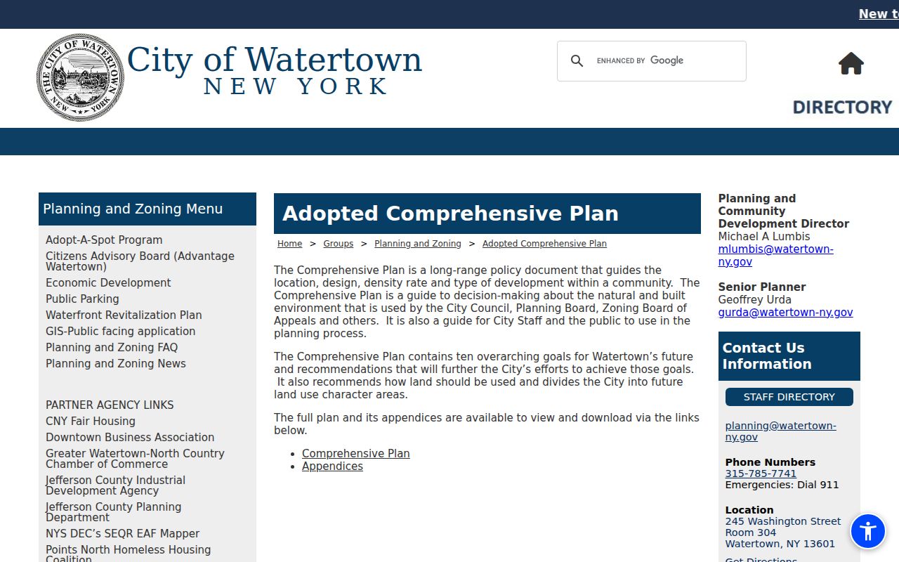
Use a planning-area name to describe geography, then return to the parcel, deed, or dated directory record for evidence about a particular address.
Watertown Neighbor Records Versus Commercial Tools
Official sources and unnamed commercial lookup tools solve different problems. The former reveal a defined record from a known custodian and can be checked at a public counter. Commercial tools may combine public and private data, but can be stale, mismatched, or difficult to trace back to a source. For a Watertown block, parcel and deed documentation is the stronger foundation because it can be dated and verified.
| Official Watertown route | Unnamed commercial category | Practical difference |
|---|---|---|
| Parcel or assessment record | Compiled identity listing | The official record identifies an owner-of-record for a defined parcel; a compiled listing may not state its source date. |
| Recorded deed and legal description | Address association | The Clerk record supplies a property transaction trail; an address association alone does not explain the parcel relationship. |
| Flower historical directory | Undated name match | A volume can be checked for date and headings; an undated match cannot establish a past block connection. |
When a commercial listing is wrong, use its own privacy process for removal and seek corrections from the actual government custodian for a public record. Do not try to fill a gap with a name inferred from a map.
Watertown Neighbor History Needs 1908
Watertown redesigned its address structure in 1907. Flower Memorial Library identifies the 1908 city directory as the working bridge: its street section places the newer address in brackets beside the earlier number. A present parcel number or street address should therefore not be carried directly into a pre-1908 directory search without making that conversion first.
The digitized Watertown directory collection contains 33 nonconsecutive volumes dated 1855 to 1916, and later books include street listings. Pair the converted address with deeds, newspaper notices, and legal descriptions. That produces a historical block story while leaving clear that an entry proves only the printed listing in that specific volume.
Watertown Neighbors Are Not a Voter Search
New York’s voter lookup is an identity-confirming self-service tool. It asks for county, last name, first name, date of birth, and ZIP, and it is designed to return a registered voter’s own election information. It is not a name, address, or block browser. Do not enter someone else’s personal details or use it as a substitute for parcel research.
Election-record requests have a separate legal path. Jefferson County and the State require an election-purpose certification under Election Law §3-103(5), and the County warns that knowing and willful misuse can be a misdemeanor under §17-168. For a legitimate election-purpose request, use the appropriate County or State Board procedure. For a block’s property history, return to the parcel, deed, and directory channels.
Watertown Neighbor Search Fallbacks
Online access begins with City and County parcel links, the City GIS portal, New York Heritage directories, and the Library of Congress map. When a portal fails, the in-person options are City Assessment, County Real Property Tax Services, the County Clerk’s public-records counter, and Flower Memorial Library’s reference or genealogy area. Flower’s genealogy desk also accepts detailed contact-form, email, mail, and brief-phone questions at 315-785-7711; its searches are free and copies cost $0.20 per page plus postage.
For a written request, use the County Real Property form for historical assessment, mapping, or a custom report; use the Clerk’s name/year search form for historic documentary material; or send a narrow City or County FOIL request to the actual custodian for a noncourt record that is unavailable online. By phone or email, contact City Assessment, County GIS, Clerk Records Management, or Flower. A request should identify the address, jurisdiction, date range, and the specific record sought.
Note: Logging the unavailable portal and the counter or request date preserves the difference between a missing web result and a missing public record.
Watertown Neighbor Lookup Privacy Limits
Owner, situs, and mailing information cannot identify every household member, visitor, utility customer, delivery recipient, protected voter, or Address Confidentiality Program participant. New York’s Address Confidentiality Program provides eligible participants a legal substitute address and mail forwarding. A substitute address, an omitted address, or a closed record is not an invitation to seek the protected address through another source.
New York FOIL privacy and safety exemptions can support redaction or withholding, and DMV data is not an address-search fallback. A block query should stop with documented parcel and historical evidence. The question “who owns this parcel” is different from “who is in this building,” and Watertown neighbors should never be inferred from a tax roll alone.
Lawful use. Use Watertown block records for personal, lawful research, local history, property context, or civic transparency. Do not use any result to stalk, harass, threaten, or harm another person.