
Walk a Watertown Street Directory
For a full street, work one parcel at a time. A City of Watertown address belongs first in the City property system, while a surrounding Jefferson County address belongs in the County system. Record the street number, parcel identifier, property location, current owner-of-record, distinct mailing address, legal description, deed reference, and the date checked. This keeps a street search documentary and avoids turning a property record into a claim about every person at the address.
- Search the City address in Watertown Image Mate. Flower Memorial Library advises using an exact owner surname or the bare street name without “Street.”
- Use the County-linked map to place the parcel and note adjacent parcel identifiers. For a city address, treat the County view as map context rather than a substitute City roll.
- Carry the parcel number, legal description, and deed book/page or document reference to the Jefferson County Clerk’s deed route.
- Search the current owner as grantee, then use that conveyance to identify the predecessor grantor. Keep the legal description with each link.
- For a past name or older number, check the relevant Flower directory street listing. The state voter tool is self-service, not a street browse source.
Each step can stop at the custodian when the online result is incomplete. City Assessment, County Real Property Tax Services, the County Clerk counter, and Flower’s reference collection are all part of the Watertown address trail.
Watertown Address Record Jurisdiction
Watertown and Jefferson County maintain distinct property paths. City Assessment says its public records cover each city parcel’s location, building inventory, ownership, and sales history. Jefferson County links a Beacon Map Viewer for geographic work and a separate Parcel Data & Tax Bill Look Up for tabular material. A Watertown postal label alone does not settle which roll applies, so start with the address’s municipal jurisdiction and do not merge values or ownership fields across the two systems.
The City property-search screen is the first stop for a City parcel. The image below shows that official entry point. The portal’s live field inventory could not be fully recovered during research, but the City roll and Flower’s directions establish the reliable surname and bare-street searches.
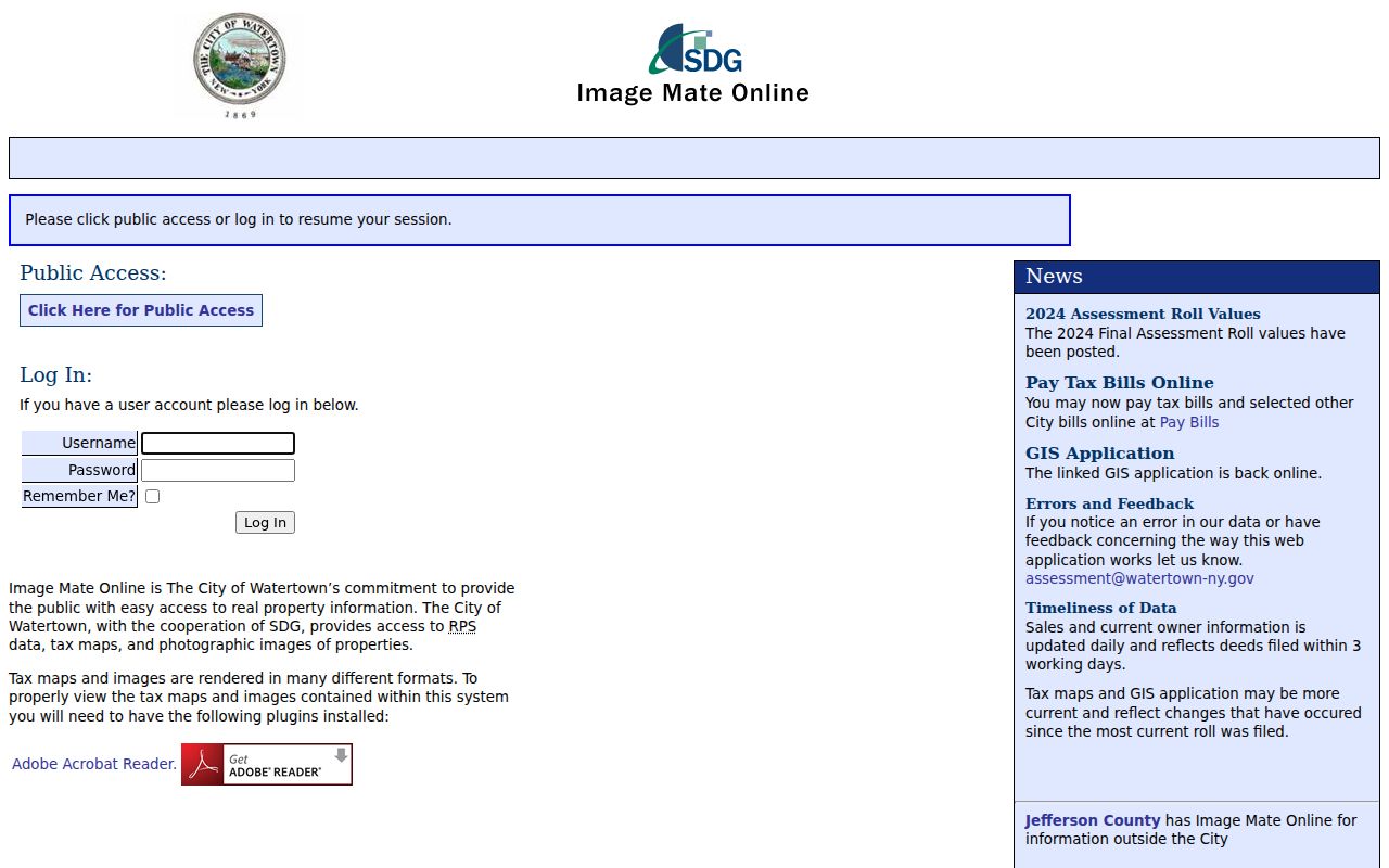
Use the result to anchor a parcel worksheet, not to label an entire street as a resident list. The owner, situs, and correspondence address can point in different directions.
Watertown Address Search Fields
Only confirmed local inputs belong in a street-directory search plan. The City screen was not fully inspectable because of a redirect loop, and County Beacon showed an access challenge. That limitation matters: it is not sound to promise filters, layers, exports, or date coverage that were not observed. The table records the fields and functions supported by the City roll, the library’s local instructions, and the County’s published links.
| Field or function | Type | Requirement | Confirmed Watertown use |
|---|---|---|---|
| Owner last name | Text | No browser rule recovered | Flower says an exact homeowner surname is most successful in the City search. |
| Street name | Text | No browser rule recovered | Enter the street name alone, omitting “Street.” |
| Search | Button | A usable criterion is needed | Review returned matches; Year Built appears under Inventory according to Flower. |
| City or County system | Portal choice | Practical first decision | City Image Mate serves city parcels; County Beacon is a separate route. |
| Parcel, address, tax-bill data | Result fields | Not applicable | Official pages affirm these functions, while full live enumeration was unavailable. |
Search terms are a starting point rather than proof. Save the returned parcel number and reference date before moving to the deed index, especially when a street includes both City and County-side addresses.
Watertown Street Records by Address
Address-keyed sources do not all answer the same question. Assessment identifies a parcel and current owner-of-record. A deed identifies parties to an instrument and its legal property trail. A historic directory can associate a name with an address in a particular volume. Keeping those roles separate produces a usable Watertown street directory record instead of a loose collection of names.
| Address record | Custodian | Useful result | Documented access |
|---|---|---|---|
| City parcel and assessment | City Assessment | Location, inventory, owner, sales history, value and exemption fields | City property search; counter, email, or phone |
| County parcel, tax, and map data | County Real Property Tax Services | Parcel geography, tax context, mapping, and historical assessment | Beacon links; request form; GIS office |
| Deed, mortgage, or map | Jefferson County Clerk | Parties, recording reference, and legal property trail | SearchIQS, free counter self-search, or mail request |
| Permit or code file | Watertown Code Enforcement | Building work or application context | Accela or counter; narrow request for historic material |
| Historic street listing | Flower Library and New York Heritage | Address-to-listing link in available directory years | Digitized subset and Flower Reference collection |
| 1890 Sanborn map | Library of Congress | Building and street context | Free 16-sheet online map |
Note: A parcel connection is useful evidence, but it does not turn tax, map, or deed records into a household roster.
Trace Watertown Street Deed Chains
The Jefferson County Clerk holds deeds from 1793 to the present and mortgages from 1804 to the present. The County says online work began in 2014, but it does not give one verified online cutoff for all historic records. SearchIQS is the electronic gateway where its current form permits a party or recording search. When it does not produce the needed historic volume, the documented alternatives are free self-search at the Clerk counter or a Records Search Request by mail.
Start with the owner shown on the current parcel as a grantee, inspect the conveyance, and note the prior grantor with its legal description. Repeat backward only when the description, map reference, or parcel evidence supports the connection. The Clerk’s search and copy-request page describes its Records Center holdings and access channels. A transaction party is not automatically proof of occupancy.
The Clerk’s request form is useful when a street name or older document cannot be resolved online. Its search charge is $5 per name for material after 1967, or $5 per name for each ten-year period before 1967. Give the office the name, record type, and narrow year range, then keep the returned reference with the parcel worksheet. The counter route is free for self-search, which makes it the better first fallback for a long or uncertain ownership trail.
Map Watertown Streets Before Deed Work
Spatial browsing and tabular parcel searching are separate County tools. The Jefferson County Beacon Map Viewer supplies geographic context, while its Parcel Data & Tax Bill Look Up is the record route. The viewer was unavailable for full control inspection during research, so use the parcel-selection or identify controls available in the current interface and verify their labels live.
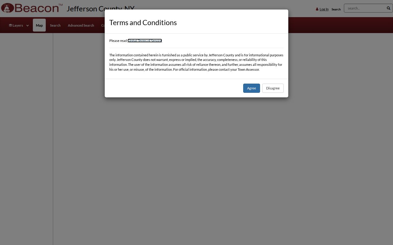
Record identifiers from the map, then retrieve each parcel separately. That disciplined transfer is more reliable than assuming a visible map boundary supplies the same details as a parcel or tax record.
- Parcel
- A tax-defined piece of land identified by a parcel or tax-map number.
- Situs address
- The property’s physical location, which is distinct from an owner’s correspondence address.
- Plat
- A recorded map or plan that can help relate lots and legal descriptions.
- Criss-cross directory
- An address-oriented directory section that can connect a street number to a historical listing.
Watertown Street Numbers Changed in 1907
Watertown redesigned its address structure in 1907 because earlier numbers were too close together for new buildings. That local break makes a modern street number a poor direct search key for a pre-1908 entry. Flower Memorial Library directs house researchers to the 1908 directory, whose street section prints the new number in brackets alongside the old one.
This comparison is the practical bridge between an assessment parcel and an older directory sequence. Use the 1908 relationship first, then compare the legal description, deed references, maps, and surrounding directory years. The digitized Flower collection contains 33 nonconsecutive volumes from 1855 through 1916, so an absent name can reflect a gap in the run rather than an absence from Watertown.
Use Watertown Street Directory Listings
The digitized Watertown City Directories collection is the historical street layer, not the modern property layer. Later volumes include street-by-street listings, while the collection as a whole also includes resident, business, and local-government sections. Flower’s physical Reference area holds additional directories beyond the stated digitized subset.
A street listing is a dated association between a printed name and address. Check the book’s own headings and abbreviation key, then use nearby years, family files, newspaper material, and deeds to test continuity. For a historical address trail, that work belongs beside, rather than inside, a present-day parcel result. The fuller archive path is available through the Watertown city directory collections.
Watertown Street Records When Portals Fail
Watertown accepts building-related applications through its downloads or counter and through Accela after account creation. City Code Enforcement can answer questions at 315-785-7735. The researched public pages did not verify a historic permit search by address, so an address, alternate pre-1908 number, date range, and requested permit or code file should be stated in a narrow request. A blank online result is not evidence that no work occurred.
County Real Property’s request form is the fallback for a historical assessment, mapping, or custom report. It documents a $25 custom-report fee, required for mailing-label requests, $0.03-per-label pricing, no fee for historical assessment unless printed documents are required, and quoted mapping fees. Contact Real Property Tax Services at 175 Arsenal Street, third floor, Watertown NY 13601, 315-785-3074, or gis@jeffersoncountyny.gov. The Clerk’s counter and mail form remain the deed fallback.
The County Beacon parcel-search screen is the distinct tabular route linked by the County. Its access challenge prevented a live search-field inventory, but the screenshot shows the official destination that should be retried before using a request channel.
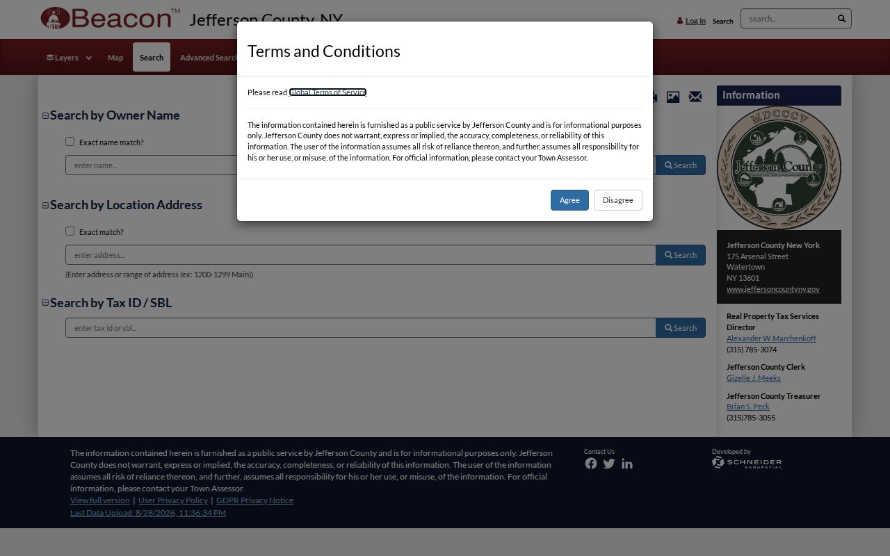
When the screen is unavailable, preserve the address and jurisdiction, then use the documented City, County, or Clerk channel instead of guessing at a property owner.
Watertown Street Directory Limits
A City roll separates current owner, owner mailing address, tax-map parcel, property location and class, assessment and taxable values, school and exemption fields, grid coordinates, and deed book/page. Those fields do not identify every person at the property. A mailing address is correspondence information, and a situs identifies land. Utility customers, delivery recipients, protected voters, and people using a legal substitute address do not become public street-directory entries through these sources.
New York’s Address Confidentiality Program can provide an eligible participant a legal substitute address and mail forwarding. Public Officers Law privacy and safety provisions can also require withholding or redaction. The New York voter lookup requires a voter’s own county, name, date of birth, and ZIP, so it must not be treated as a list of a street’s voters.
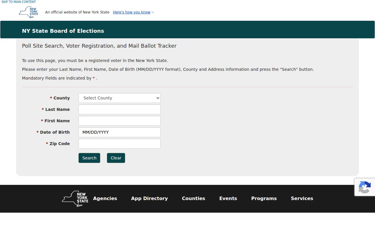
The form’s identity-confirming inputs show why property and directory sources, rather than voter browsing, are the proper routes for address history.
Lawful use. Use Watertown address records for personal, lawful research, family history, property context, or civic transparency. Do not use a record trail to stalk, harass, threaten, or harm another person.