
Watertown ZIP Code Coverage
Watertown’s postal geography should be read as a routing framework, not a map of municipal districts. The principal standard-delivery postal area is 13601, and the Watertown Post Office is at 232 Commerce Park Drive. Two nearby labels, 13602 and 13603, appear in the USPS Watertown hub context, but they need a Fort Drum and adjacent-geography caveat. The table gives the narrow facts supported by the local research. It does not assign every street to a ZIP or turn any postal label into a city-limit claim.
| ZIP Code | Areas Covered | Post Office | Notes |
|---|---|---|---|
| 13601 | Principal Watertown standard-delivery postal area; city and county offices use it | Watertown Post Office, 232 Commerce Park Drive | Primary city ZIP, but its postal footprint is not a city-limit map. |
| 13602 | Fort Drum postal area near Watertown | Fort Drum Post Office | Adjacent installation geography, not a City of Watertown parcel jurisdiction. |
| 13603 | USPS WATERTOWN destination label in the 2026 hub scheme | USPS Postal Bulletin context | Do not infer Watertown City coverage from its label or prior Fort Drum use. |
USPS recorded a 2005 realignment of 874 Fort Drum post-office-box deliveries from 13603 to 13602. That history is an important warning against treating the two numbers as City of Watertown neighborhoods. Fort Drum is outside Watertown City, principally in the Town of Le Ray. Check the individual Watertown-area address rather than extending a postal label across a parcel boundary.
Verify a Watertown ZIP Code with USPS
The USPS ZIP Lookup is the final check for a Watertown civic, agency, or records-office address. Supply the street address, city, and state, then use the returned ZIP for mail addressing. Do not rely on a map screenshot or a broad Watertown neighborhood label. A correct postal result only answers the delivery question. It does not identify Watertown city limits, tax jurisdiction, every person at an address, or the historical number used in an older record.
| USPS input or result | How to use it |
|---|---|
| Street address | Enter the complete address being verified, not a broad street or neighborhood guess. |
| City and state | Use Watertown, New York when that is the reported postal address, then confirm the returned result. |
| Returned ZIP | Use it for mailing the specific address, not as proof of city jurisdiction. |
| Different result | Recheck the address and route the property question to the correct city or county office. |
A practical sequence is simple: verify one full address with USPS, identify whether the parcel lies inside City of Watertown jurisdiction, use the appropriate Watertown property system, and retain the parcel identifier or legal description for the next record. This Watertown postal guide is useful at the first step, not a substitute for the rest of the chain.
- Enter the full Watertown-area street address, city, and state in the USPS tool.
- Use the returned ZIP for mailing the specific address, then retain the complete address as searched.
- Check whether the address is inside Watertown City or in a surrounding Jefferson County jurisdiction.
- Use the corresponding property, Clerk, library, or Code Enforcement channel for the actual record question.
Watertown ZIP Code Searches Are Refinements
Watertown local property and map portals had no verified ZIP filter in the inspected research. City Image Mate looped in the research environment and Jefferson County Beacon presented an access challenge, so no ZIP-wide parcel list should be promised. New York’s voter tool accepts ZIP together with a full name, date of birth, and county to confirm a voter’s own status. The Department of State licensee search and the Office of Unclaimed Funds search can use ZIP to narrow a name query. None of those tools is a ZIP-wide roster of Watertown people.
| Portal | Confirmed ZIP behavior | Safe meaning |
|---|---|---|
| USPS ZIP Lookup | Address, city, and state return a ZIP | Verify one address’s mail ZIP. |
| New York voter lookup | ZIP is one identity input with name, date of birth, and county | Personal registration confirmation, not a public browse. |
| DOS Licensee Name Search | ZIP can narrow an individual license-name search | Refine an affiliation search after name and type. |
| Unclaimed-property search | City and ZIP can narrow a name or business query | Rightful-owner research, not current-address proof. |
| City and County parcel portals | No ZIP filter verified | Do not claim ZIP-wide parcel filtering. |
Once a postal check points to a specific street, the Watertown Streets page has the fuller parcel-by-parcel method. It starts with the correct jurisdiction and keeps owner, situs, and mailing fields distinct.
Watertown Parcels Follow Jurisdiction
A Watertown postal city name cannot tell you which assessment system to use. The City of Watertown property search is for Watertown City parcels. Jefferson County links separate Beacon tools for county parcel-data, tax-bill, and geographic work. The older county Image Mate landing page expressly directs Watertown City users to the City endpoint. Start by locating the parcel in the correct jurisdiction, then use its parcel ID, situs, assessment information, and recorded reference as the evidence trail. A mailing address may belong somewhere else and remains correspondence, not residency evidence.
The Watertown City property-search page below is the municipal route for a City parcel.
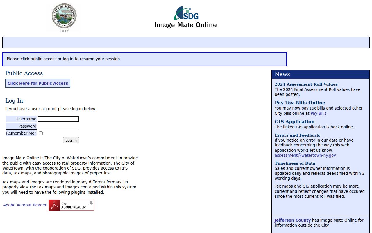
For a Watertown City record, Flower Memorial Library advises using an exact owner surname or a street name without “Street.” That search advice helps find a parcel; it does not convert ownership into a list of Watertown residents.
Watertown Postal Map Context
The County’s linked Beacon Map Viewer is the geographic route for a Watertown parcel, while its parcel-data and tax-bill tool is the tabular route. The live map controls were not available to verify in this research session, so use the parcel-selection or identify controls available in the current viewer rather than assuming a particular layer, radius, export, or result format. A map can place a Watertown address and surrounding parcels in context. It cannot prove which people occupy any building.
The county-linked Beacon Map Viewer provides the geographic side of a Watertown postal question.
If the map or database is unavailable, Jefferson County Real Property Tax Services offers a request form for Watertown-area historical assessment, mapping, mailing labels, and custom reports. Historical assessment is listed without a fee unless printed documents are required; mapping is quoted, custom reports are $25, and mailing labels are 3 cents each. The office is the documented alternative to guessing from a Watertown postal boundary.
Watertown ZIP Codes Cannot Fix Old Numbers
Watertown’s local address quirk is more important than its modern ZIP for historic work. The City redesigned its address structure in 1907 because older numbers were too close together for new buildings. Flower Memorial Library directs researchers to the 1908 City Directory: its street section places the current number in brackets beside the earlier number. A present postal code can still be correct while an old house number is wrong for a pre-1908 directory search.
For an older Watertown house or family question, pair the City property inventory or year-built information with the 1908 bridge, then follow the legal description or deed reference. The digitized Watertown directory run is nonconsecutive from 1855 to 1916, so a missing listing is not proof that no person or building was present. This address reset is a Watertown-specific reason to keep postal and historic research on separate tracks.
Watertown Planning Areas Are Not ZIPs
Watertown’s Comprehensive Plan uses six Watertown planning areas: Northside, Sand Flats, Downtown, Sherman, Ohio, and Knickerbocker. Those areas are helpful civic geography, but they are not postal boundaries, tax parcels, or membership lists. A street can have a Watertown mailing label while requiring county rather than City parcel research. Likewise, a Fort Drum-related label can appear near Watertown without placing the address inside City limits. Use Watertown planning vocabulary for context and the actual parcel jurisdiction for records.
This is a useful comparison: a ZIP routes mail, a planning area organizes Watertown city policy, and a parcel identifies taxable land. Each can appear beside the same Watertown address, but each is maintained for a different purpose. For building-work context, Watertown City Code Enforcement offers permit channels and a counter route; it does not establish a verified historic permit-by-ZIP archive.
Watertown Parcel Data by ZIP
The Jefferson County parcel-data and tax-bill search is distinct from the map viewer. The County’s official design separates spatial browsing from tabular parcel inquiry. When a Watertown search returns a parcel, preserve its situs, parcel number, owner-of-record, assessment data, and any recorded reference. A full mailing address can still be an owner’s correspondence destination, so it should not be recast as household information in this Watertown postal guide.
The county parcel-search interface shown below is the tabular companion to the map route.
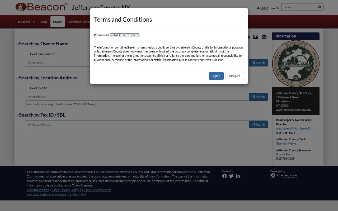
Where the county tool does not answer a historic question, use the Real Property office request route or the Jefferson County Clerk’s SearchIQS, counter, and mail-request channels for the appropriate document. Do not infer a search field or online coverage year that the current portal does not publish.
Watertown Postal Labels and City Limits
The key mismatch is simple: 13601 is Watertown’s principal postal area, but a postal footprint can extend beyond a municipal boundary. 13602 and 13603 require even more care because of Fort Drum and the 2005 post-office-box change. City-only work therefore starts with City limits and property jurisdiction, not a postal code. County work uses the county parcel path even when the address has a Watertown label. USPS resolves the delivery code for the individual address, then the custodian resolves the record.
- ZIP and ZIP+4
- The five-digit ZIP routes mail broadly; ZIP+4 adds a more specific delivery segment. Neither creates a legal boundary.
- PO-box ZIP
- A postal code used for post-office-box delivery. It should not be assumed to describe nearby street delivery.
- Unique ZIP
- A ZIP assigned to one organization or delivery point. It is a postal arrangement, not a city district.
- Carrier route
- A postal delivery grouping used for mail operations. It is not a parcel map or resident list.